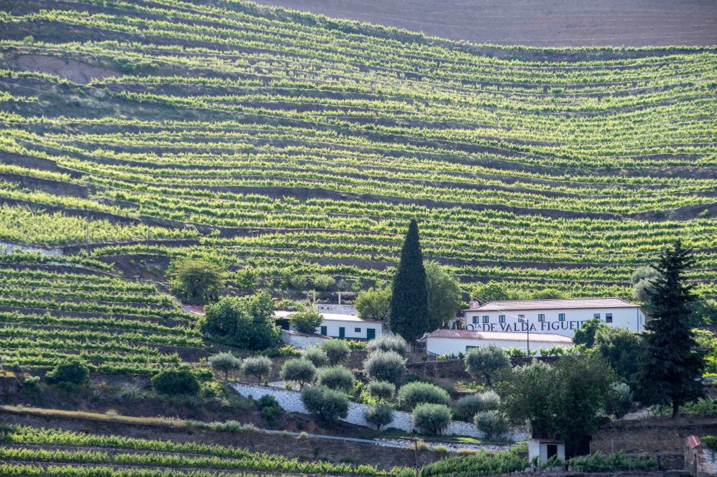
Douro Valley, Portugal
Spatial distributions
A spatial distribution is the pattern produced by mapping information about a specific phenomenon. Visualising data as a spatial distribution can be a powerful way of making sense of the phenomenon being mapped, because it may reveal something about it that is not readily apparent from a table. However, to extract the full value from a spatial distribution students should progress from describing it to use it to raise questions, evaluate its significance and implications, explain it, and use it analytically to answer questions.
Using a spatial distribution to analyse
Data that has been mapped can reveal patterns that are not immediately apparent in a table, and which may suggest ways of explaining the data. A map of world climates provides an example of the analytical use mapped data. Students could observe that the world’s subtropical deserts are located on the western sides of the continents at around 30° north and south of the Equator. This repeated locational pattern suggests a common cause, and with some further investigation students should discover that, because of the global patterns of atmospheric circulation, these are zones of descending air. As air descends it warms, which reduces the chance of moisture condensing into
precipitation. This prompts the following generalisation:
Most of the world’s major deserts are found along the latitudes of 300 north and south of the Equator, where the air is descending and consequently dry and clear (adapted from Holden, 2011, p. 30).
Evaluating spatial distributions
Students should learn to think about the meaning or significance of a spatial distribution. For example, a map of life expectancy that shows considerable differences between areas should raise questions about social inequality, while a map of change in mean temperature over time should raise questions about the impacts on particular places, and how these places might adapt.
Explaining spatial distributions
Spatial distributions can be used to identify possible causal relationships through the method of map comparison. An example is to look for a relationship between vegetation and climate at a global scale by comparing maps of climatic types and major biomes. However, it is important to understand that this method, like statistical analysis, can only suggest that there may be a cause-and-effect relationship; it does not prove one. To do that one has to identify the causal processes or mechanisms that produced the relationship.

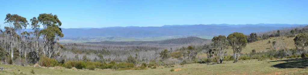
The view from Tinderry, New South Wales, Australia
The organisation of space
Within each place, such as a home, a suburb, a city, or a nation, is a space that is organised and planned in various ways. The space within your home is organised into areas for sleeping, washing, cooking, eating and leisure. The space within cities is zoned for specific activities, such as manufacturing, parks, shops and housing, and within it road and rail routes are planned and services such as hospitals and schools located. Other examples of the organisation of space are the designation of local government areas, the spatial pattern of sports leagues and associations, the delineation of electoral boundaries (a contentious process in the USA), and the areal divisions of organisations like Rotary.
Using spatial thinking
The concept of space underlies the use of mapping and Geographic Information Systems (GIS) to analyse, generalise and explain, i.e. to reason spatially. Examples include:
- Identifying possible causes of diseases by mapping their incidence.
- Mapping areas at risk from sea-level rise and storm surges.
- Locating schools and health services by mapping to identify areas that are currently under-serviced, or are forecast to be areas of future demand.
- Modelling the effects of climate change on the habitats of endangered animals.
- Measuring the spatial association between disadvantaged social groups and air pollution or other environmental hazards.
For an example of spatial thinking see this description of how to decide on the location of a new football training ground, at https://home.id.com.au/case-studies/richmond-football-club.
Space and public policy
The concept of space underlies a variety of policies tried by governments at different levels to achieve particular aims. These are some examples:
- In urban areas development is often managed by creating zones in which only specified types of land use, economic activity and buildings are permitted. This is intended to prevent the juxtaposition of incompatible activities, such as noxious industries and housing, but is also used to protect the house values of nervous owners.
- Strategies to protect biodiversity may designate specific land and marine spaces in which harvesting is restricted and actions which damage the productivity of the environment are banned.
- To provide alternative economic locations to the major centres in a country governments may designate new growth centres and build the infrastructure required to make them attractive. In capitalist economies these have not been very effective. Brasilia, established in 1960 as the new inland capital of Brazil, is an example. The city was meant to create a new growth node to counter the dominance of Brazil’s two major cities, São Paulo and Rio de Janeiro, which are located on the coast. It has had very little impact.
References
Holden, J. (2011). Physical geography: The basics. Routledge.
Further reading
Healy, G., & Walshe, P. (2019). Real-world geographers and GIS: Relevance, inspiration and developing geographical knowledge. Teaching Geography, 44(2), 52–55.
Maude, A. (2024). Thinking geographically: a guide to the core concepts for teachers, Routledge.
Home page: Geography’s core concepts: a teacher’s guide
Next blog: Blog 8: What is the difference between place and space?
